
01
Roofs, property and sites
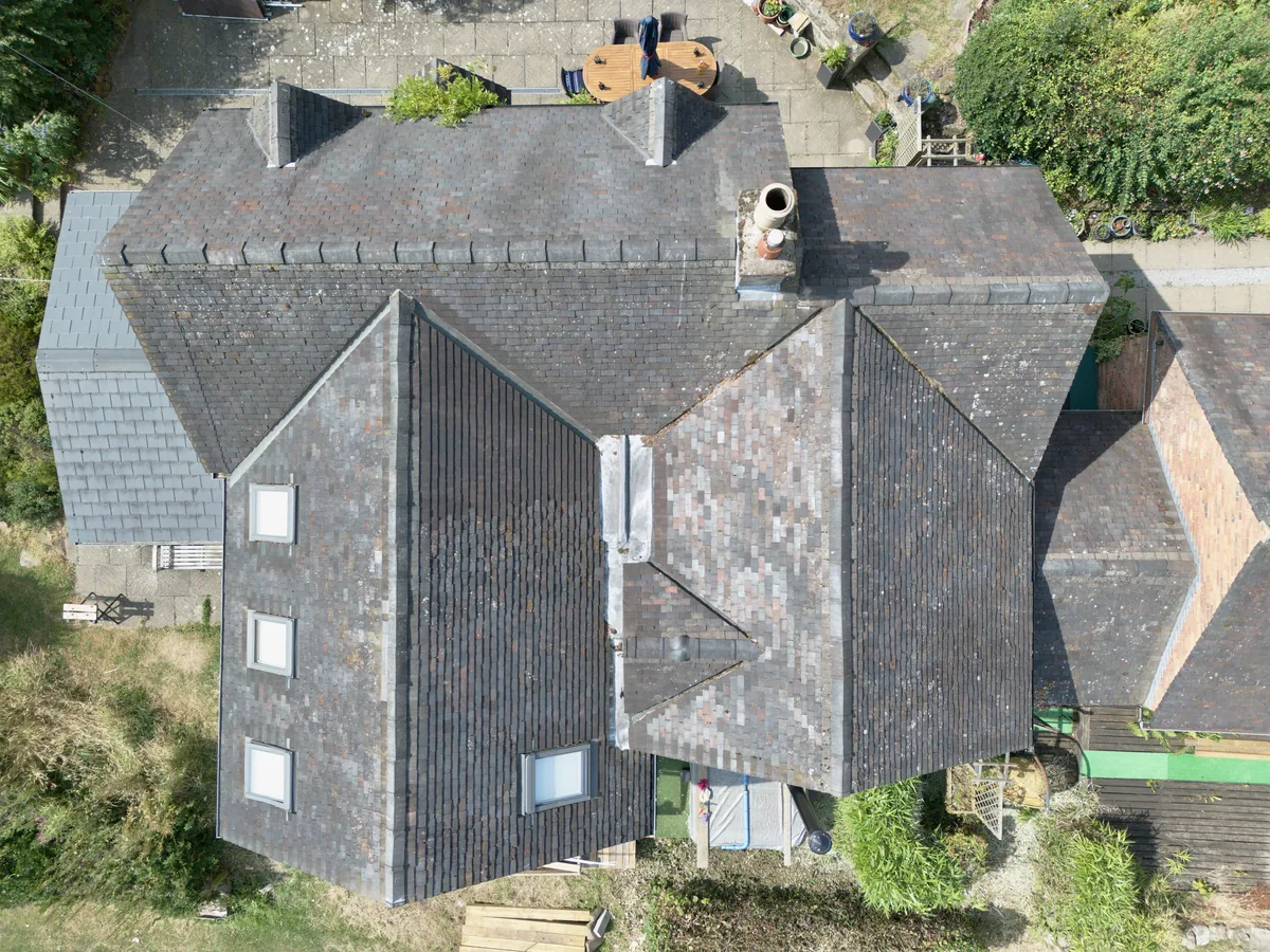
Detailed aerial imagery for roofs, gutters, chimneys, planning work and areas that are difficult to see from ground level.
Roof imagery · planning context · site overviewUplink Aerial
For property, planning and commercial projects - from clear roof imagery to first-person-view (FPV) and specialist aerial work.
Start with the outcome
You do not need to choose an aircraft or specify a technical workflow. Start with the location, what needs to be captured and how you plan to use the material.
01
Detailed aerial imagery for roofs, gutters, chimneys, planning work and areas that are difficult to see from ground level.
Roof imagery · planning context · site overview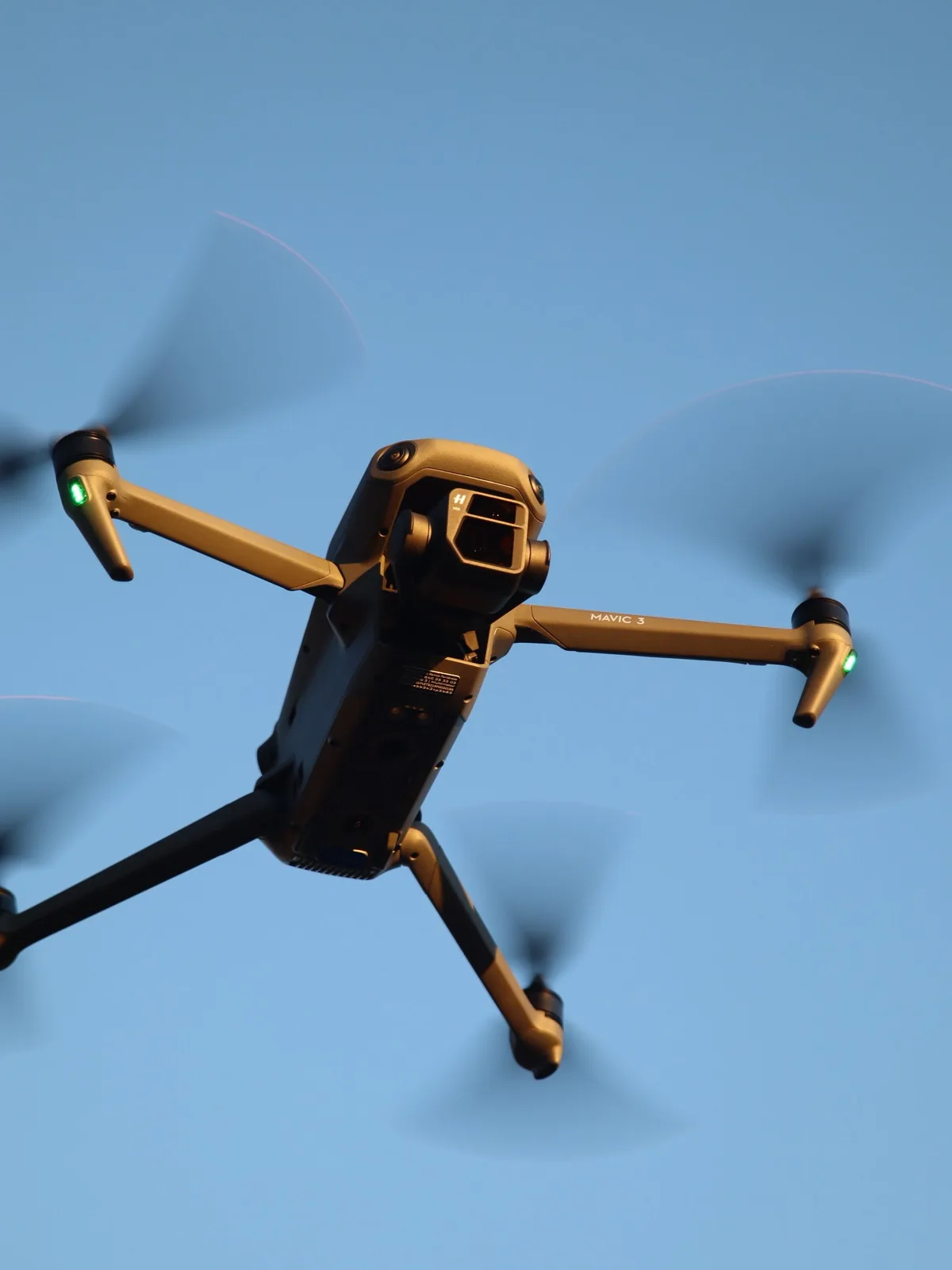
02
Edited aerial photography and video for property, businesses, venues, farms, websites and social media.
Photography · edited video · aerial panoramas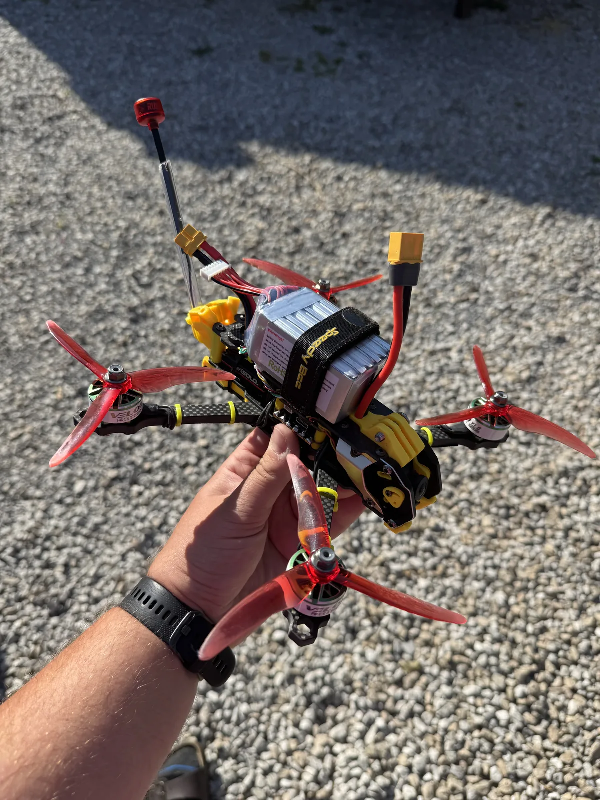
03
Repeatable project views, before-and-after imagery, client-directed live viewing and recorded first-person-view routes where appropriate.
Construction progress · repeat visits · live FPV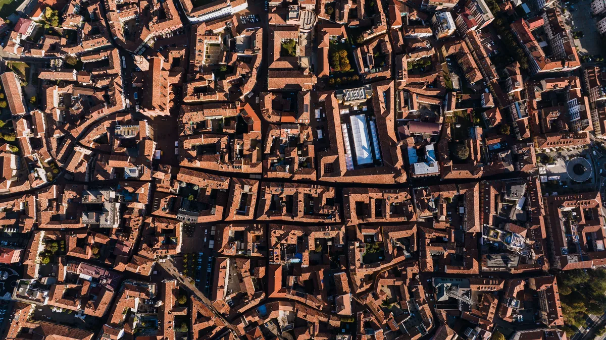
04
3D models from drone photographs, with thermal imaging and other specialist equipment arranged when needed.
Visual 3D models · specialist equipment by arrangementShowing 1 of 4: Roofs, property and sites
01
Detailed aerial imagery for roofs, gutters, chimneys, planning work and areas that are difficult to see from ground level.
Roof imagery · planning context · site overview02
Edited aerial photography and video for property, businesses, venues, farms, websites and social media.
Photography · edited video · aerial panoramas03
Repeatable project views, before-and-after imagery, client-directed live viewing and recorded first-person-view routes where appropriate.
Construction progress · repeat visits · live FPV04
3D models from drone photographs, with thermal imaging and other specialist equipment arranged when needed.
Visual 3D models · specialist equipment by arrangementBased in Staffordshire
Projects across the UK, with international work by arrangement.Digital delivery
Edited photographs and video supplied in the formats agreed for the project.Clear scope before booking
Location, required views, timing and price agreed in advance.Aircraft and capture
Camera drones, FPV aircraft and specialist equipment each solve a different problem. The choice follows the brief - not the other way round.
01
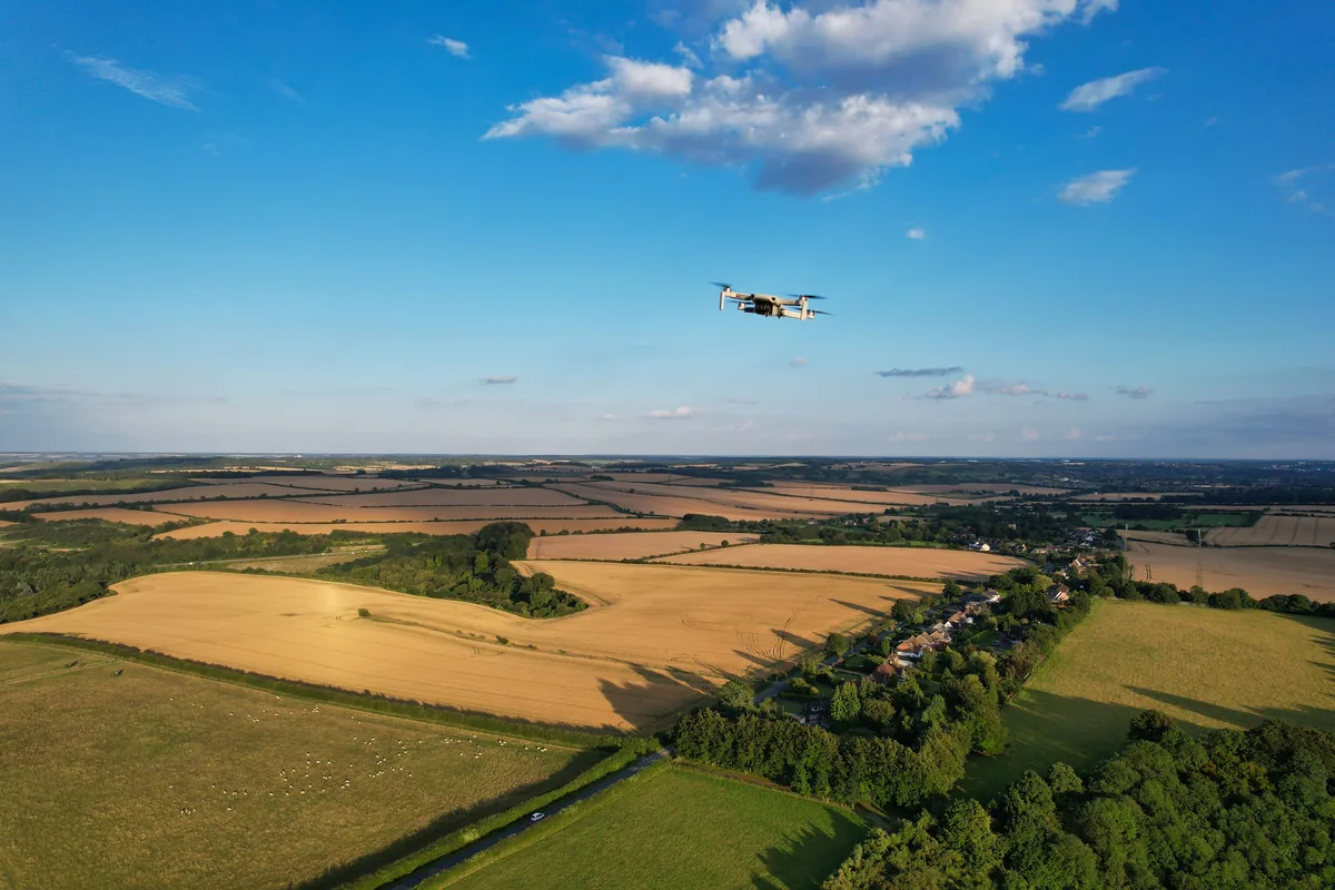
A conventional camera drone suits high-resolution photography, composed video and repeatable coverage of property, roofs, land and wider sites.
02
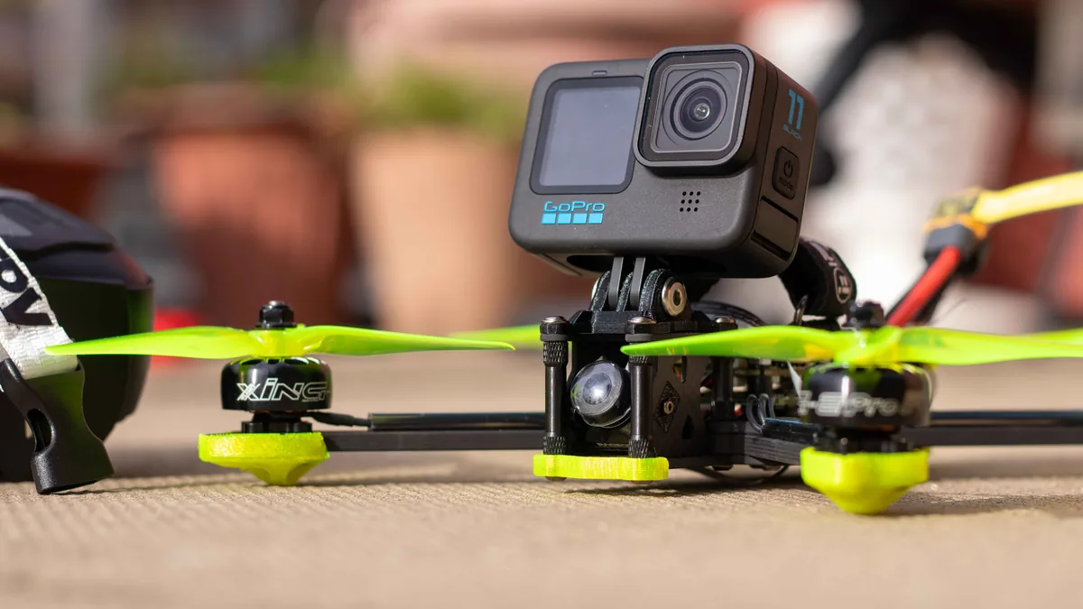
First-person-view (FPV) flying can follow a briefed route, provide a live view while the client directs the flight, and record footage through or around spaces where its movement is useful.
03
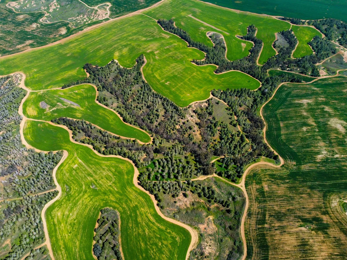
Visual photogrammetry can be developed for suitable projects. Thermal, RTK, telemetry, repeatable flight paths and other requirements can be assessed and arranged around the brief.
Showing 1 of 3: Camera drone
01
A conventional camera drone suits high-resolution photography, composed video and repeatable coverage of property, roofs, land and wider sites.
02
First-person-view (FPV) flying can follow a briefed route, provide a live view while the client directs the flight, and record footage through or around spaces where its movement is useful.
03
Visual photogrammetry can be developed for suitable projects. Thermal, RTK, telemetry, repeatable flight paths and other requirements can be assessed and arranged around the brief.
A straightforward service
Each assignment is planned around the site, intended use, access, weather and applicable flight rules. You know what is being captured, what will be delivered and the agreed price before the flight takes place. See the Staffordshire roof-imagery project for an example.
The site, intended use, timing and required views.
Access, weather, airspace, safety and the right equipment.
A clear flight plan with room to respond on site.
Edited photographs are typically ready by the next working day; edited video within three working days.

Flight credentials
CAA-registered operatorTell me what you need to see or capture and where the site is. I’ll help shape the right approach and explain what is practical - even if the brief is still taking shape.
Discuss it with Eugene