Consulting engagement · Uplink Aerial
FPV workflow evaluation for town planning
A town-planning consultancy commissioned an evaluation of how FPV drones could support rapid visual coverage of rural sites, live client-directed viewing and recorded footage for subsequent review. Two purpose-built FPV aircraft were developed and demonstrated in a rural environment, giving the client a practical basis for assessing the technology.
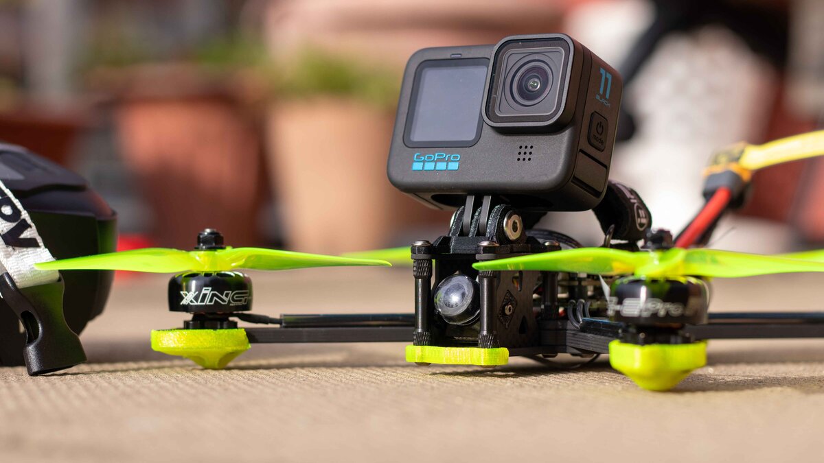
- Practical evaluation
- Proposed FPV workflows and equipment options were assessed through consultation and field demonstrations.
- Two purpose-built aircraft
- Compact and five-inch FPV drones were assembled and configured for different operating environments.
- Live and recorded viewing
- The client watched flights in real time and received the recorded footage afterwards.
The requirement
The client wanted to determine whether FPV drones could provide a faster and more flexible way to observe rural properties, boundaries and routes than conventional ground-based viewing alone.
The proposed workflow needed to support two ways of working:
- a client watching the flight live and requesting particular views; and
- a pre-agreed route flown and recorded for review afterwards.
The consultation also needed to establish which type of aircraft, video system and camera arrangement would suit different environments.
The technical evaluation
The work began by assessing how aircraft size, flight characteristics and video equipment would affect the proposed uses.
A smaller aircraft was considered for tighter or more confined environments, while a larger five-inch aircraft was selected for faster outdoor coverage.
The evaluation covered:
- aircraft and component selection;
- radio and video-link reliability;
- live viewing and recorded footage;
- safe flight operations;
- camera options for different outputs;
- component reuse and future aircraft development; and
- the potential for later software customisation or automation.
A component register documented the equipment, its purpose and where parts could be reused or upgraded in future systems.
Purpose-built aircraft
Two FPV drones were assembled and configured from individual components: a compact whoop-style aircraft and a larger five-inch aircraft.
Building both systems made it possible to compare their characteristics against the client’s proposed workflows rather than recommending a single aircraft without practical testing.
It also established a flexible technical foundation from which cameras, airframes and other components could be changed as future requirements became clearer.
Field demonstration
Both aircraft were demonstrated over rural land, including flights around the property and along fences and boundaries.
The client watched the video feed live on a tablet beside the pilot. The feed was also recorded and supplied afterwards, demonstrating how an assignment could combine real-time direction with footage retained for later review.
The outcome
The client received a practical assessment of FPV technology, demonstrations using two different aircraft and recorded examples of the proposed workflow.
This established where FPV could provide useful rapid visual coverage and where a different aircraft, camera system or operating approach would be more appropriate. It also gave the client a clearer basis for deciding whether to develop the workflow further.
The engagement covered consultation, system development and practical demonstration. It was not a land survey or the delivery of a finished operational surveying system.
Have a related project?
Share the site, system or result you need help with.